Lalpur at a Glance |
|
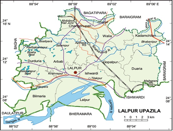
Area |
327.92 sq.km |
Location |
Bagatipara and Baraigram Upazilla in North, Baraigram and Ishurdi Upazilla in East, Ishurdi Upazilla of Pabna, Bheramara and Daulatpur Upazilla of Kushtia in South, Bagha and Charghat Upazilla of Rajshahi in West. |
Geographical Location |
From 24.07 to 24.18 North Longitude and From 88.52 to 89.08 East Latitude |
Population |
Total 2,42,645( according to 2001 Census) |
Density of population |
740/Per Sq.KM |
Literacy Rate |
43.57% |
No. of Union |
10 |
Municipality |
01 |
No. of Village |
242 |
Govt. College |
01 |
Private College |
12 |
High School |
46 |
Madrasah |
23 |
Govt. Primary School |
62 |
Non Govt. Primary School |
43 |
Cultivable Land |
49,772 acres |
Economic Crops |
Rice, Sugar Cane, Tobacco,Jute, Cotton |
Industry |
01(North Bengal Sugar Mills, Gopalpur) |
Renowned Places |
Shrine of Fakir Chand, Nilkuthi of Bilmaria, Kadirabad Cantonment, North Bengal Sugar Mills etc. |
